
What “Houston Soil” Actually Means
There is no single Houston soil. What exists is a set of mapped soil series across the region, each with reported properties, published by the USDA Natural Resources Conservation Service through its soil survey programme.
Series that appear across the greater Houston area include Lake Charles, Beaumont, Bernard, Katy, Clodine, Addicks, Gessner, Hockley, Sorter, and Splendora. Several of these are clay-rich soils with substantial shrink-swell potential. Others, particularly in the north and northeast toward the piney woods, are sandier and behave differently.
Knowing which series is mapped under your neighbourhood is genuinely interesting context. It is not a finding about your house, and this page is careful about that distinction throughout.
Soil Series Versus Geologic Formation
These two terms get used interchangeably and they describe different things.
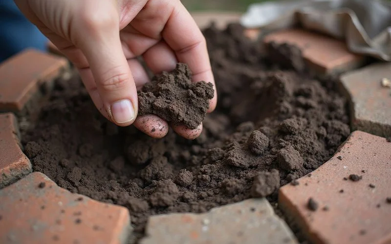
A soil series is a classification of the soil profile near the surface — the material within the top several feet, described by texture, colour, drainage class, and measured properties. Series are what NRCS maps.
A geologic formation is a much larger body of rock or sediment defined by its origin and age. In the Houston area the Beaumont Formation and the Lissie Formation are the names that come up most often. They describe deposits laid down over geological time, extending well below the soil profile.
The practical difference: a soil series tells you about the material immediately supporting a shallow foundation. A formation tells you about the regional geology that soil developed on. Both are useful context. Neither is a substitute for looking at a specific property.
Shrink-Swell and the Active Zone
The property that matters most for foundations is shrink-swell potential — how much a soil changes volume as its moisture content changes.
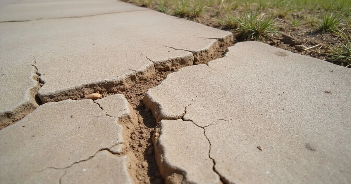
Clay minerals with high shrink-swell potential take on water into their structure and expand. When they dry out, they contract, and in extreme cases visibly crack at the surface. Across a residential lot, that volume change is what moves the soil supporting a slab or a pier pad.
The active zone is the depth over which seasonal moisture change drives meaningful volume change. Below it, moisture content is relatively stable and the soil does not cycle in the same way. Active zone depth varies with soil type, climate, vegetation, and site conditions, and it is one reason foundation piers aim to reach material below it.
Uniform moisture change across a whole lot moves a house evenly and often goes unnoticed. Differential change — one side wet, another dry — produces uneven support, and that is what distresses a structure. Our guide on why Houston clay soils move foundations covers the mechanics in more detail.
Why the Map Cannot Score Your Property
This is where a lot of foundation marketing goes wrong, so it is worth stating precisely.
NRCS soil survey data reports mapped properties for a mapped unit. That is a generalisation across an area, produced at a particular scale, for agricultural and land-use planning purposes among others. It is good data used properly.
What it does not do:
- It does not describe the soil beneath one specific lot with certainty
- It does not account for fill placed during development, which on many Houston subdivision lots is what the foundation actually bears on
- It does not report the condition of any foundation
- It does not predict whether a house will move
A contractor who quotes your mapped soil series as evidence that your foundation needs repair is misusing a public dataset. A soil map is context for understanding a region. Measurement is how you understand a house.
Fill: The Factor Maps Do Not Capture
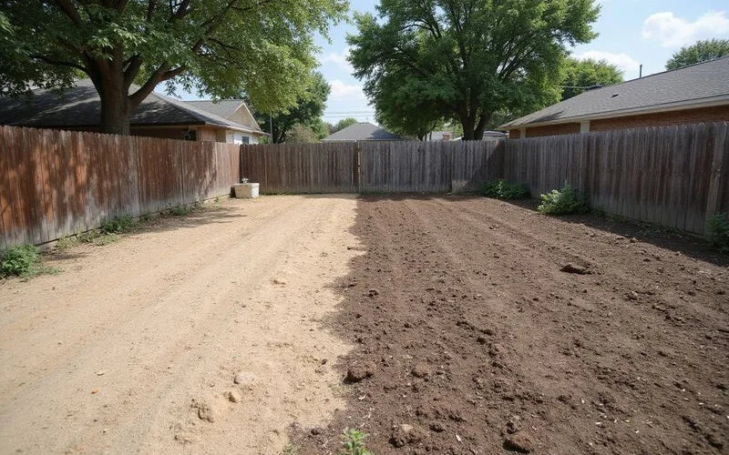
Across much of the Houston area’s developed land, the material immediately under a slab is not the native soil at all. Subdivisions are graded, cut, and filled during development. Drainage is engineered. Detention areas are excavated and the spoil goes somewhere.
Fill placement and compaction history matter enormously to foundation performance, and they vary between sections of the same development, sometimes between adjacent lots. A house built on well-compacted engineered fill behaves differently from one on poorly consolidated material, and neither shows up in a soil map.
This is one reason newer homes are not exempt from foundation movement. Age tells you very little. Support consistency tells you a great deal.
What to Do With This Information
Use it as context, not conclusion.
If you want to look up your own area, the NRCS Web Soil Survey is public and free. Finding that your neighbourhood is mapped with a high shrink-swell series is a reasonable prompt to pay attention to drainage, irrigation consistency, and tree proximity — the things you can actually influence. Our foundation maintenance guide covers the practical side.
What it is not is a reason to assume your foundation has a problem, and it is not evidence anyone should be using to sell you one. If you have noticed something at your property, a foundation evaluation measures the floor plane and maps the distress, which is the only thing that establishes what is actually happening at your address.